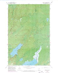
1952 Map of Babbitt SE
USGS Topo · Published 1971About this map
Reserve Mining Company Railroad tracks cut through the northern portion of the Superior National Forest, illustrating the mid-century industrial footprint on this pocket of the Iron Range. The landscape is defined by its extensive aquatic network, where the Dunka River feeds into several large water bodies including Big Lake and Seven Beaver Lake. These waters, along with Swamp Lake and Lake Culkin, sit near the boundary of St. Louis and Lake Counties.
Find a feature on this map
13 named features on this map. Tap any name to fly to it.
Don’t see what you’re looking for? This feature index may not catch every label — zoom into the map to look around manually.
Map Details
Editions of this 1952 Babbitt SE Map
5 editions found
Other maps of this area

1951 · Babbitt SW
USGS Topo · 1:24,000

1951 · Babbitt
USGS Topo · 1:24,000

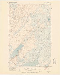
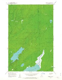
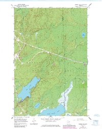
1952 · Babbitt SE
USGS Topo · 1:24,000

1952 · Babbitt NE
USGS Topo · 1:24,000

1953 · Whyte
USGS Topo · 1:62,500

1954 · Greenwood Lake
USGS Topo · 1:62,500

1954 · Two Harbors
USGS Topo · 1:250,000

1957 · Two Harbors
USGS Topo · 1:250,000

1957 · Brimson
USGS Topo · 1:62,500

1958 · Two Harbors
USGS Topo · 1:250,000