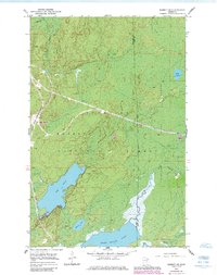
1952 Map of Babbitt SE
USGS Topo · Published 1985About this map
The Reserve Mining Company Railroad cuts a prominent horizontal path across this landscape, illustrating the industrial footprint of iron ore transport through the Superior National Forest. This 1952 field-checked survey highlights a transition in the North Woods, where heavy rail infrastructure meets a complex network of glacial water bodies. The southern portion of the sheet is dominated by significant aquatic features, most notably the wide expanse of Big Lake and its northern reach at Bungalow Bay, alongside the headwaters of the Seven Beaver Lake system. Water drainage patterns are clearly defined by the Dunka River and North River, which wind through the timbered terrain. While primarily a wilderness map, the inclusion of a Gravel Pit and the specific State Forest Boundary lines provide insights into the mid-century management of Minnesota’s natural and mineral resources.
Find a feature on this map
16 named features on this map. Tap any name to fly to it.
Don’t see what you’re looking for? This feature index may not catch every label — zoom into the map to look around manually.
Map Details
Editions of this 1952 Babbitt SE Map
5 editions found
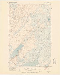
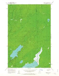
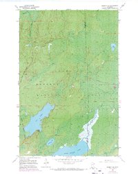
Other maps of this area

1951 · Babbitt SW
USGS Topo · 1:24,000

1951 · Babbitt
USGS Topo · 1:24,000

1952 · Babbitt SE
USGS Topo · 1:24,000

1952 · Babbitt NE
USGS Topo · 1:24,000

1953 · Whyte
USGS Topo · 1:62,500

1954 · Greenwood Lake
USGS Topo · 1:62,500

1954 · Two Harbors
USGS Topo · 1:250,000

1957 · Two Harbors
USGS Topo · 1:250,000

1957 · Brimson
USGS Topo · 1:62,500

1958 · Two Harbors
USGS Topo · 1:250,000