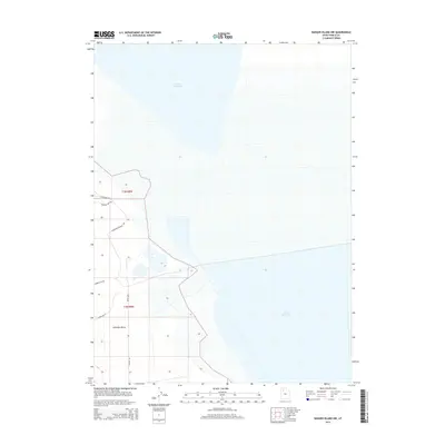
2014 Map of Badger Island NW
USGS Topo · Published 2014About this map
Great Salt Lake dominates the eastern half of this landscape, its shoreline defining the eastern edge of Lakeside Valley. The terrain is marked by the expansive flats and dry basins characteristic of the region, organized by the Public Land Survey System boundaries of t3n r8w and t2n r8w. Development is sparse, concentrated primarily along a network of local roads that provide access to the desert floor. Remote corridors such as Monarch Well Rd and Craner Flat Rd traverse the valley, while Rowley Rd serves as a primary north-south artery. The presence of Lakeshore Dr and Lakeshore-Private Rd suggests limited habitation or industrial access along the western margins of the salt lake, capturing a quiet, late-period view of Tooele County's industrial or utility-focused outposts.
Find a feature on this map
10 named features on this map. Tap any name to fly to it.
Don’t see what you’re looking for? This feature index may not catch every label — zoom into the map to look around manually.
Map Details
Editions of this 2014 Badger Island NW Map
This is the sole edition of this map. No revisions or reprints were ever made.
Other maps of this area

1885 · Tooele Valley
USGS Topo · 1:250,000

1953 · Tooele
USGS Topo · 1:250,000

1954 · Brigham City
USGS Topo · 1:250,000

1955 · Tooele
USGS Topo · 1:250,000

1958 · Brigham City
USGS Topo · 1:250,000

1962 · Brigham City
USGS Topo · 1:250,000

1968 · Carrington Island SW
USGS Topo · 1:24,000

1968 · Poverty Point
USGS Topo · 1:24,000

1968 · Deardens Knoll
USGS Topo · 1:24,000

1968 · Badger Island NW
USGS Topo · 1:24,000