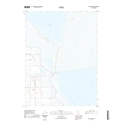
2020 Map of Badger Island NW
USGS Topo · Published 2020About this map
The vast waters of the Great Salt Lake dominate this coastal survey of Tooele County, illustrating the western shoreline at Stansbury Bay. The map documents a sparsely developed landscape where the low-lying Lakeside Valley meets the salt flats and marshes. Human presence is concentrated along the western edge of the quadrangle, marked by a small network of roads including Lakeshore Dr and Lacustrine Way. These modern thoroughfares, along with Lakeshore-Private Rd, provide access to the edge of the lake, serving as a record of the region's contemporary infrastructure and land use in an area shaped by fluctuating water levels and salt-crusted terrain.
Find a feature on this map
6 named features on this map. Tap any name to fly to it.
Don’t see what you’re looking for? This feature index may not catch every label — zoom into the map to look around manually.
Map Details
Editions of this 2020 Badger Island NW Map
This is the sole edition of this map. No revisions or reprints were ever made.
Other maps of this area

1885 · Tooele Valley
USGS Topo · 1:250,000

1953 · Tooele
USGS Topo · 1:250,000

1954 · Brigham City
USGS Topo · 1:250,000

1955 · Tooele
USGS Topo · 1:250,000

1958 · Brigham City
USGS Topo · 1:250,000

1962 · Brigham City
USGS Topo · 1:250,000

1968 · Carrington Island SW
USGS Topo · 1:24,000

1968 · Poverty Point
USGS Topo · 1:24,000

1968 · Deardens Knoll
USGS Topo · 1:24,000

1968 · Badger Island NW
USGS Topo · 1:24,000