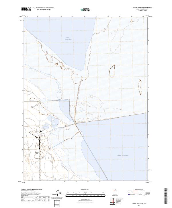
2023 Map of Badger Island NW
USGS Topo · Published 2023About this map
Great Salt Lake dominates the horizon of this recent survey, where the brackish waters meet the eastern edge of the Lakeside Valley. The shoreline is defined by the expansive Stansbury Bay, reflecting a landscape shaped by fluctuating water levels and the salt-crusted flats of Tooele County. Local transit and access are concentrated along the western edge, marked by residential and service routes such as Lakeshore Dr and Lacustrine Way. The layout of these roads, including the Lakeshore-Private Rd, suggests a specialized or seasonal use area situated between the rising terrain of the valley and the aquatic expanse of the lake. This map provides a clear view of the intersection between human infrastructure and the unique hydrological environment of northern Utah in the early 2020s.
Find a feature on this map
6 named features on this map. Tap any name to fly to it.
Don’t see what you’re looking for? This feature index may not catch every label — zoom into the map to look around manually.
Map Details
Editions of this 2023 Badger Island NW Map
This is the sole edition of this map. No revisions or reprints were ever made.
Other maps of this area

1885 · Tooele Valley
USGS Topo · 1:250,000

1953 · Tooele
USGS Topo · 1:250,000

1954 · Brigham City
USGS Topo · 1:250,000

1955 · Tooele
USGS Topo · 1:250,000

1958 · Brigham City
USGS Topo · 1:250,000

1962 · Brigham City
USGS Topo · 1:250,000

1968 · Carrington Island SW
USGS Topo · 1:24,000

1968 · Poverty Point
USGS Topo · 1:24,000

1968 · Deardens Knoll
USGS Topo · 1:24,000

1968 · Badger Island NW
USGS Topo · 1:24,000