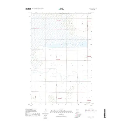
2019 Map of Badger NE
USGS Topo · Published 2019About this map
The Roseau River meanders across this northern Minnesota landscape, creating a complex series of oxbows and wetland pockets in Roseau County. This 2019 survey documents a region defined by extensive hydrological management, characterized by features like County Ditch Number Seventeen and the protective Dike and Dike Rd systems that manage water flow across the flat terrain. The agricultural grid is well-established, with roads like Co Rd 112 and Co Rd 113 providing access to the expansive fields and scattered farmsteads.
Find a feature on this map
36 named features on this map. Tap any name to fly to it.
Don’t see what you’re looking for? This feature index may not catch every label — zoom into the map to look around manually.
Map Details
Editions of this 2019 Badger NE Map
This is the sole edition of this map. No revisions or reprints were ever made.
Other maps of this area

1918 · Roseau
USGS Topo · 1:62,500

1919 · Badger
USGS Topo · 1:62,500

1952 · Thief River Falls
USGS Topo · 1:250,000

1954 · Roseau
USGS Topo · 1:250,000

1956 · Thief River Falls
USGS Topo · 1:250,000

1957 · Roseau
USGS Topo · 1:250,000

1957 · Thief River Falls
USGS Topo · 1:250,000

1958 · Roseau
USGS Topo · 1:250,000

1963 · Kenora
USGS Topo · 1:250,000
1966 · Haug
USGS Topo · 1:24,000