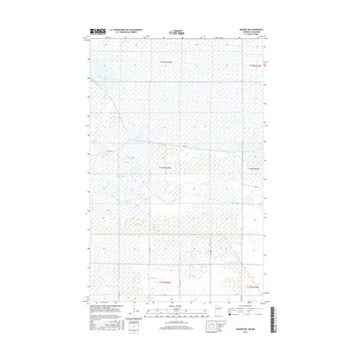
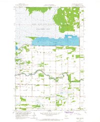
2016 Map of Badger NW
USGS Topo · Published 2016About this map
The Roseau River meanders across this northern Minnesota landscape, defining a region characterized by significant water management and wetland features. This 2016 survey highlights the intricate drainage and containment systems necessary for this low-lying terrain, featuring a series of large impoundments including Pool Number Two, Pool 2, and Pool Number Three. These are linked by the engineered Dike Rd and various water control structures that reflect long-term efforts to manage the local watershed for agricultural or conservation purposes.
Find a feature on this map
18 named features on this map. Tap any name to fly to it.
Don’t see what you’re looking for? This feature index may not catch every label — zoom into the map to look around manually.
Map Details
Editions of this 2016 Badger NW Map
This is the sole edition of this map. No revisions or reprints were ever made.
Other maps of this area

1919 · Badger
USGS Topo · 1:62,500

1930 · Juneberry
USGS Topo · 1:31,680

1932 · Juneberry
USGS Topo · 1:62,500

1952 · Thief River Falls
USGS Topo · 1:250,000

1956 · Thief River Falls
USGS Topo · 1:250,000

1957 · Thief River Falls
USGS Topo · 1:250,000
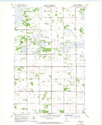
1966 · Haug
USGS Topo · 1:24,000
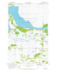
1966 · Badger NW
USGS Topo · 1:24,000
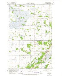
1966 · Badger
USGS Topo · 1:24,000
1966 · Badger NE
USGS Topo · 1:24,000