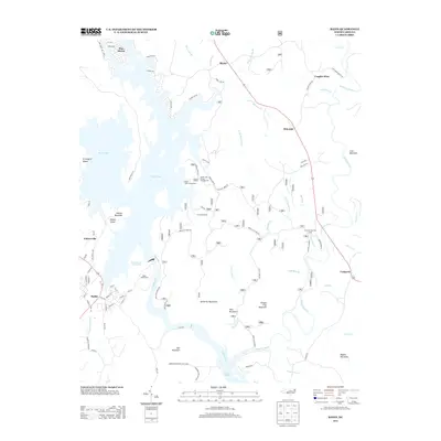
2013 Map of Badin
USGS Topo · Published 2013About this map
Badin Lake and the Yadkin River corridor define this region of the Uwharrie Mountains, where industrial development and conservation land meet. The town of Badin sits at the southwestern edge of the lake, near the Badin Waterworks and the dramatic passage known as the Narrows of the Yadkin. This area transitions from the structured residential streets of Pine Haven and Palmerville to the expansive protected acreage of Morrow Mountain State Park and the surrounding national forest lands.
Find a feature on this map
89 named features on this map. Tap any name to fly to it.
Don’t see what you’re looking for? This feature index may not catch every label — zoom into the map to look around manually.
Map Details
Editions of this 2013 Badin Map
This is the sole edition of this map. No revisions or reprints were ever made.
Other maps of this area

1942 · Troy
USGS Topo · 1:125,000

1949 · High Rock
USGS Topo · 1:24,000

1953 · Raleigh
USGS Topo · 1:250,000

1953 · Charlotte
USGS Topo · 1:250,000

1954 · Charlotte
USGS Topo · 1:250,000

1954 · Raleigh
USGS Topo · 1:250,000

1957 · Albemarle
USGS Topo · 1:62,500

1957 · Denton
USGS Topo · 1:62,500

1957 · Troy
USGS Topo · 1:62,500

1957 · Asheboro
USGS Topo · 1:62,500