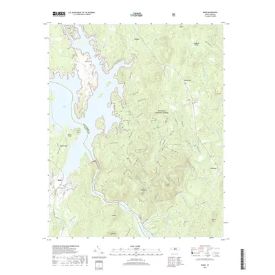
2019 Map of Badin
USGS Topo · Published 2019About this map
Badin Lake dominates the western portion of this landscape, formed by the impoundment of the Yadkin River along the border of Stanly and Montgomery Counties. The terrain is defined by the Uwharrie Mountains, a series of distinct peaks including Falls Mtn, Shingle Trap Mtn, and Hattaway Mtn that rise within the Uwharrie National Forest. This protected area is crisscrossed by an extensive network of specialized paths, such as the Slab Pile OHV Trail and Sawmill OHV, reflecting the modern recreational use of these ancient highlands.
Find a feature on this map
113 named features on this map. Tap any name to fly to it.
Don’t see what you’re looking for? This feature index may not catch every label — zoom into the map to look around manually.
Map Details
Editions of this 2019 Badin Map
This is the sole edition of this map. No revisions or reprints were ever made.
Other maps of this area

1942 · Troy
USGS Topo · 1:125,000

1949 · High Rock
USGS Topo · 1:24,000

1953 · Raleigh
USGS Topo · 1:250,000

1953 · Charlotte
USGS Topo · 1:250,000

1954 · Charlotte
USGS Topo · 1:250,000

1954 · Raleigh
USGS Topo · 1:250,000

1957 · Albemarle
USGS Topo · 1:62,500

1957 · Denton
USGS Topo · 1:62,500

1957 · Troy
USGS Topo · 1:62,500

1957 · Asheboro
USGS Topo · 1:62,500