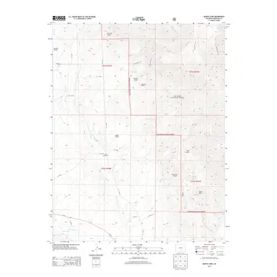
2013 Map of Badito Cone
USGS Topo · Published 2013About this map
San Isabel National Forest dominates the high ground of this Huerfano County landscape, where the terrain transitions from steep ridges to the fertile drainage of the Huerfano River. Family history is preserved at the Maes Creek Cem and Cisneros Cem, indicating early settlement patterns along the waterways that descend from Santana Butte and the distinctive Badito Cone. The irrigation legacy of the region is evidenced by the Garcia Ditch, which draws from the river to support local agriculture. A complex network of drainage systems, including Arroyo Hondo and Turkey Cr, defines the canyon-carved geography. High-elevation routes such as Santana Trail 1313 and the Bartlett Trail 1310 provide access to remote springs like Santana Spring and Saint Jude Spring tucked within deep canyons.
Find a feature on this map
37 named features on this map. Tap any name to fly to it.
Don’t see what you’re looking for? This feature index may not catch every label — zoom into the map to look around manually.
Map Details
Editions of this 2013 Badito Cone Map
This is the sole edition of this map. No revisions or reprints were ever made.
Other maps of this area

1889 · Huerfano Park
USGS Topo · 1:125,000

1891 · Walsenburg
USGS Topo · 1:125,000

1892 · Huerfano Park
USGS Topo · 1:125,000

1894 · Walsenburg
USGS Topo · 1:125,000

1897 · Walsenburg
USGS Topo · 1:125,000

1900 · Walsenburg
USGS Topo · 1:125,000

1954 · Trinidad
USGS Topo · 1:250,000

1955 · Trinidad
USGS Topo · 1:250,000

1958 · Trinidad
USGS Topo · 1:250,000

1959 · Trinidad
USGS Topo · 1:250,000