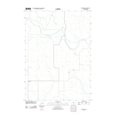
2012 Map of Badnation
USGS Topo · Published 2012About this map
The White River winds through this Mellette County landscape, defining the northern geography where it meets the drainage of Williams Cr. In the southern portion of the quadrangle, the small settlement of Badnation sits near the headwaters of Louis Cr, connected by local roads to the surrounding high plains. The map records important community markers for local history and genealogy, specifically the Saint Catherine Cem and Rosebud Cem, located east of the central valley. The drainage patterns of Oak Cr and its tributaries reveal the erosion-carved terrain characteristic of this part of South Dakota, showing how the limited water sources shaped the placement of rural homesteads and roads.
Find a feature on this map
7 named features on this map. Tap any name to fly to it.
Don’t see what you’re looking for? This feature index may not catch every label — zoom into the map to look around manually.
Map Details
Editions of this 2012 Badnation Map
This is the sole edition of this map. No revisions or reprints were ever made.
Other maps of this area

1951 · Badnation
USGS Topo · 1:24,000

1951 · Badnation NW
USGS Topo · 1:24,000

1951 · Presho 4 NW
USGS Topo · 1:24,000

1955 · Martin
USGS Topo · 1:250,000

1958 · Martin
USGS Topo · 1:250,000

1970 · Vivian SW
USGS Topo · 1:24,000

1972 · Vivian SE
USGS Topo · 1:24,000

1978 · Presho SW
USGS Topo · 1:24,000

1982 · Two Nation Creek
USGS Topo · 1:25,000

1982 · Wood North
USGS Topo · 1:24,000