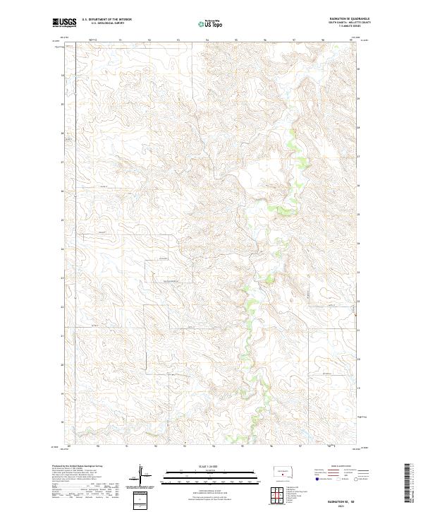
2021 Map of Badnation SE
USGS Topo · Published 2021About this map
Bad Whichwind Rd provides a primary east-west corridor across this Mellette County landscape, traversing a series of high ridges and deep drainage basins. The topography is defined by the headwaters and winding paths of several watercourses, most notably Butte Cr in the southern portion and the complex network of Oak Cr and its tributaries further north. In the northwest corner, Louis Cr carves through the terrain, while McChesneys Cr flows toward the southeastern boundary.
Find a feature on this map
18 named features on this map. Tap any name to fly to it.
Don’t see what you’re looking for? This feature index may not catch every label — zoom into the map to look around manually.
Map Details
Editions of this 2021 Badnation SE Map
This is the sole edition of this map. No revisions or reprints were ever made.
Other maps of this area

1951 · Badnation
USGS Topo · 1:24,000

1951 · Badnation NW
USGS Topo · 1:24,000

1951 · Presho 4 NW
USGS Topo · 1:24,000

1955 · Martin
USGS Topo · 1:250,000

1958 · Martin
USGS Topo · 1:250,000

1982 · Two Nation Creek
USGS Topo · 1:25,000

1982 · Wood North
USGS Topo · 1:24,000

1982 · Badnation SE
USGS Topo · 1:25,000
1982 · Carter
USGS Topo · 1:25,000

1982 · Mosher
USGS Topo · 1:25,000