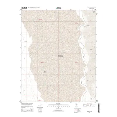
2015 Map of Badwater
USGS Topo · Published 2015About this map
The Dayton Harris Grave Monument stands as a solitary human marker within the expanse of Death Valley National Park, located near the historical Eagle Borax Spring. This 2015 topographic study of the Death Valley basin illustrates the dramatic elevation changes between the salt flats and the towering peaks of the Black Mountains and Amargosa Range. The map documents the primary transit routes of the valley floor, including W Side Rd and Badwater Rd, which skirt the edges of the Mojave Desert and the famous low point at Badwater. Topographical details reveal the complex drainage systems of Coffin Canyon and Copper Canyon, highlighting the geological forces that have shaped this iconic California landscape.
Find a feature on this map
18 named features on this map. Tap any name to fly to it.
Don’t see what you’re looking for? This feature index may not catch every label — zoom into the map to look around manually.
Map Details
Editions of this 2015 Badwater Map
This is the sole edition of this map. No revisions or reprints were ever made.
Other maps of this area

1908 · Furnace Creek
USGS Topo · 1:250,000

1910 · Furnace Creek
USGS Topo · 1:250,000

1948 · Death Valley
USGS Topo · 1:250,000

1951 · Funeral Peak
USGS Topo · 1:62,500

1952 · Furnace Creek
USGS Topo · 1:62,500

1952 · Ryan
USGS Topo · 1:62,500

1952 · Bennetts Well
USGS Topo · 1:62,500

1954 · Death Valley
USGS Topo · 1:250,000

1956 · Death Valley
USGS Topo · 1:250,000

1957 · Death Valley
USGS Topo · 1:250,000