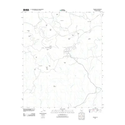
2011 Map of Bagdad
USGS Topo · Published 2011About this map
Bagdad serves as the focal point of this high-desert Yavapai County landscape, shown here as a structured settlement centered around the Bagdad Post Office and Bagdad Airport. The surrounding terrain is a complex arrangement of flat-topped mesas and sharp peaks, reflecting the distinctive geomorphology of the Arizona backcountry. Notable heights such as Kimberly Peak, Lucy Peak, and the Cowboy Peaks overlook a drainage system defined by Bridle Creek and Cowboy Wash. Local infrastructure like Mine RD, Bagdad Landfill RD, and various corrals indicates the intersection of industrial activity and cattle ranching. The presence of named water sources like White Spring and Crosby Tank highlights the critical importance of water management in this arid environment, while large geographic features like Copper Creek Mesa and Nelson Mesa provide a sense of the area's massive scale.
Find a feature on this map
52 named features on this map. Tap any name to fly to it.
Don’t see what you’re looking for? This feature index may not catch every label — zoom into the map to look around manually.
Map Details
Editions of this 2011 Bagdad Map
This is the sole edition of this map. No revisions or reprints were ever made.
Other maps of this area

1923 · Signal
USGS Topo · 1:250,000

1942 · Signal
USGS Topo · 1:250,000

1945 · Bagdad
USGS Topo · 1:62,500

1948 · Bagdad
USGS Topo · 1:62,500

1950 · Prescott
USGS Topo · 1:250,000

1954 · Prescott
USGS Topo · 1:250,000

1958 · Prescott
USGS Topo · 1:250,000

1959 · Prescott
USGS Topo · 1:250,000

1960 · Prescott
USGS Topo · 1:250,000

1965 · Prescott
USGS Topo · 1:250,000