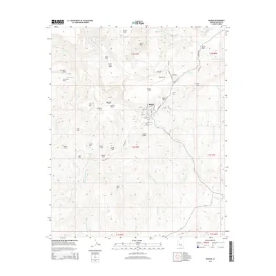
2014 Map of Bagdad
USGS Topo · Published 2014About this map
Bagdad serves as the central hub of this Arizona mining district, its residential streets like Grandview Dr and Hilltop Dr arranged near the copper-rich geography of the Mojave Desert. The map reveals a landscape defined by industry and ranching history, with Mine Rd and Bruce Mine Rd cutting through terrain marked by mesas and peaks. Natural water sources like White Spring and Mountain Spring contrast with man-made features like Crosby Tank and the Bagdad Airport. The surrounding topography is a complex of named heights including Lawler Peak, Granite Mtn, and the distinctive Cowboy Peaks. Transportation is anchored by Az 96 and Az 97, which navigate the elevation shifts near Mesa Pass and various creek beds like Bridle Cr.
Find a feature on this map
70 named features on this map. Tap any name to fly to it.
Don’t see what you’re looking for? This feature index may not catch every label — zoom into the map to look around manually.
Map Details
Editions of this 2014 Bagdad Map
This is the sole edition of this map. No revisions or reprints were ever made.
Other maps of this area

1923 · Signal
USGS Topo · 1:250,000

1942 · Signal
USGS Topo · 1:250,000

1945 · Bagdad
USGS Topo · 1:62,500

1948 · Bagdad
USGS Topo · 1:62,500

1950 · Prescott
USGS Topo · 1:250,000

1954 · Prescott
USGS Topo · 1:250,000

1958 · Prescott
USGS Topo · 1:250,000

1959 · Prescott
USGS Topo · 1:250,000

1960 · Prescott
USGS Topo · 1:250,000

1965 · Prescott
USGS Topo · 1:250,000