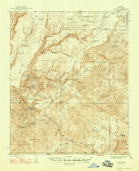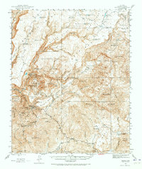
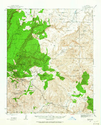
1945 Map of Bagdad
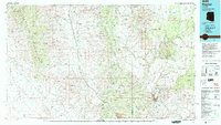
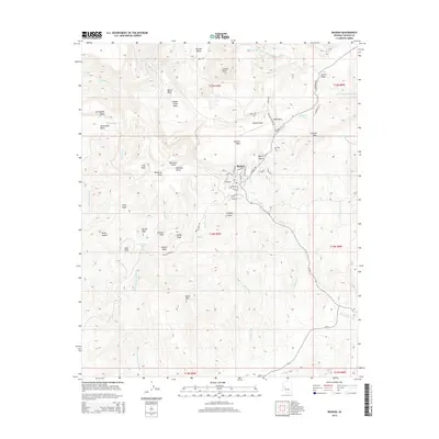
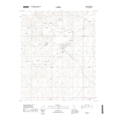
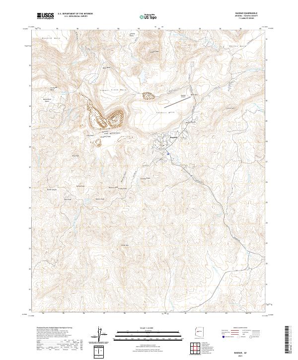
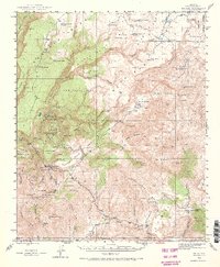
USGS Topo · Published 1973About this map
The copper-rich highlands of Yavapai County define this mid-century survey, centered on the mining town of Bagdad. The landscape is a complex arrangement of mesas and drainage basins, where industrial operations like the Hillside Mine, Copper King Mine, and Cowboy Mine are etched into the terrain near family-run outposts such as Bozarth Ranch. This era of the region’s development is characterized by a heavy reliance on local water sources, evidenced by dozens of named springs and tanks like Crosly Tank and Mineral Spr that supported both livestock and ore processing.
Find a feature on this map
69 named features on this map. Tap any name to fly to it.
Don’t see what you’re looking for? This feature index may not catch every label — zoom into the map to look around manually.
Map Details
Editions of this 1945 Bagdad Map
3 editions found
Historical Maps of Bagdad Through Time
8 maps found