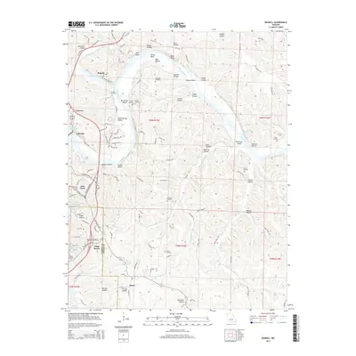
2015 Map of Bagnell
USGS Topo · Published 2015About this map
The Osage River winds through this Central Missouri landscape, shaped by the waters of the Lake of the Ozarks. This 2015 survey shows the developed corridors of Osage Beach and Lake Ozark, where major thoroughfares like Horseshoe Bend Pky and Bagnell Dam Blvd serve the heavy tourist and residential traffic typical of the late twentieth century. Despite this modern growth, the map preserves a clear record of the region’s older rural character through its numerous small family burial grounds, including the Fitzgerald Cemetery, Scott Cemetery, and Henderson Cemetery.
Find a feature on this map
116 named features on this map. Tap any name to fly to it.
Don’t see what you’re looking for? This feature index may not catch every label — zoom into the map to look around manually.
Map Details
Editions of this 2015 Bagnell Map
This is the sole edition of this map. No revisions or reprints were ever made.
Other maps of this area

1888 · Versailles
USGS Topo · 1:125,000

1888 · Tuscumbia
USGS Topo · 1:125,000

1893 · Versailles
USGS Topo · 1:125,000

1894 · Tuscumbia
USGS Topo · 1:125,000

1904 · Eldon
USGS Topo · 1:62,500

1932 · Versailles No 4
USGS Topo · 1:48,000

1933 · Iberia
USGS Topo · 1:62,500

1934 · Camdenton
USGS Topo · 1:24,000

1934 · Toronto
USGS Topo · 1:24,000

1934 · Lake Ozark
USGS Topo · 1:24,000