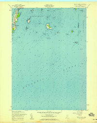
1957 Map of Bailey Island
USGS Topo · Published 1959About this map
Bailey Island and the southernmost tip of Orrs Island define the rugged shoreline of Harpswell in this coastal study. The map illustrates a seafaring landscape where narrow peninsulas and sheltered inlets like Mackerel Cove and Water Cove provided essential harbor. Beyond the residential clusters, the hydrography reveals a complex network of submerged hazards and rocky outcroppings including Pond Island Ledges, Cedar Ledge, and the prominent Ragged Island. These features, combined with the Jamison Ledge Beacon, underscore the maritime importance of Merriconeag Sound and the outer reaches of Casco Bay. The proximity of the Cumberland and Sagadahoc county line at the eastern edge of the map highlights the geographic transition toward Phippsburg. Local landmarks such as David Castle and White Bull further ground the chart in the specific nautical vernacular of the Maine coast during the mid-1950s.
Find a feature on this map
39 named features on this map. Tap any name to fly to it.
Don’t see what you’re looking for? This feature index may not catch every label — zoom into the map to look around manually.
Map Details
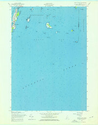
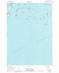
Editions of this 1957 Bailey Island Map
3 editions found
Other maps of this area

1892 · Freeport
USGS Topo · 1:62,500

1893 · Small Point
USGS Topo · 1:62,500

1893 · Casco Bay
USGS Topo · 1:62,500

1894 · Bath
USGS Topo · 1:62,500

1914 · Casco Bay
USGS Topo · 1:48,000

1916 · Casco Bay
USGS Topo · 1:62,500

1916 · Portland And Vicinity
USGS Topo · 1:62,500

1918 · Portland And Vicinity
USGS Topo · 1:62,500

1919 · Small Point
USGS Topo · 1:62,500

1920 · Bath
USGS Topo · 1:62,500