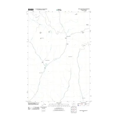
2011 Map of Bailey Mountain
USGS Topo · Published 2011About this map
Miller Lake and the associated Miller Lake Dam sit at the heart of this drainage-rich section of the Garnet Range in Powell County. The landscape is defined by its high-elevation peaks and deeply cut gulches, with North Chimney Peak and South Chimney Peak anchoring the western boundary. Several remote access routes, including Carten Creek Rd and Gough Creek Rd, trace the valleys of Carten Creek and Gough Creek, respectively. Topographic features such as Limestone Canyon and Bobcat Gulch showcase the complex geology of this Montana wilderness. The area around Maclver Meadow and Wisner Gulch reflects a geography shaped by headwater streams like Hoover Creek and Kelley Creek, illustrating the natural water systems that feed the region.
Find a feature on this map
30 named features on this map. Tap any name to fly to it.
Don’t see what you’re looking for? This feature index may not catch every label — zoom into the map to look around manually.
Map Details
Editions of this 2011 Bailey Mountain Map
This is the sole edition of this map. No revisions or reprints were ever made.
Other maps of this area

1889 · Helena
USGS Topo · 1:250,000

1893 · Helena
USGS Topo · 1:250,000

1899 · Helena
USGS Topo · 1:250,000

1903 · Helena
USGS Topo · 1:250,000

1919 · Drummond
USGS Topo · 1:125,000

1921 · Drummond
USGS Topo · 1:125,000

1947 · Butte
USGS Topo · 1:250,000

1958 · Butte
USGS Topo · 1:250,000

1958 · Drummond
USGS Topo · 1:62,500

1958 · Garrison
USGS Topo · 1:62,500