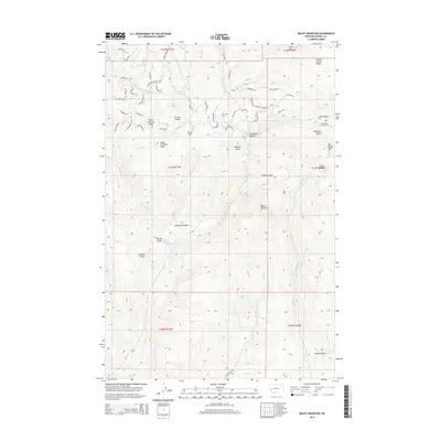
2014 Map of Bailey Mountain
USGS Topo · Published 2014About this map
The Garnet Range dominates this portion of Powell County, where the high peaks of North Chimney Peak and South Chimney Peak overlook a complex network of gulches and creeks. In the northeast, the Immaculate Conception Cem is a notable landmark near Salt Gulch, marking a site of local history amidst the mountainous terrain. The map details a landscape defined by significant elevation changes, from the heights of Old Baldy Mtn and Bailey Mountain to the lower reaches of MacIver Meadow. Numerous small drainages like Elk Swamp Cr, Hoover Cr, and Gough Cr carve through the land, while a variety of local roads named for geological materials—such as Mudrock Rd, Hematite Rd, and Quartz Rd—suggest the mining legacy of the region.
Find a feature on this map
67 named features on this map. Tap any name to fly to it.
Don’t see what you’re looking for? This feature index may not catch every label — zoom into the map to look around manually.
Map Details
Editions of this 2014 Bailey Mountain Map
This is the sole edition of this map. No revisions or reprints were ever made.
Other maps of this area

1889 · Helena
USGS Topo · 1:250,000

1893 · Helena
USGS Topo · 1:250,000

1899 · Helena
USGS Topo · 1:250,000

1903 · Helena
USGS Topo · 1:250,000

1919 · Drummond
USGS Topo · 1:125,000

1921 · Drummond
USGS Topo · 1:125,000

1947 · Butte
USGS Topo · 1:250,000

1958 · Butte
USGS Topo · 1:250,000

1958 · Drummond
USGS Topo · 1:62,500

1958 · Garrison
USGS Topo · 1:62,500