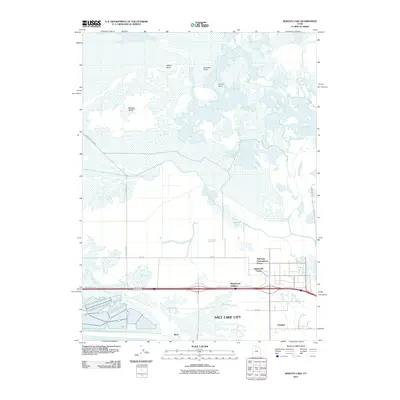
2011 Map of Baileys Lake
USGS Topo · Published 2011About this map
Salt Lake City spreads its northwestern industrial and logistical reaches across this landscape, where the urban grid meets the expansive wetlands of the Great Salt Lake. The area is defined by the Salt Lake International Center and the Terminal district, reflecting the intensive development of transit and commerce in the early 21st century. Further south, the residential and industrial pockets of Maplewood Addition and Bonneville Center flank the major transit corridor of W North Temple.
Find a feature on this map
23 named features on this map. Tap any name to fly to it.
Don’t see what you’re looking for? This feature index may not catch every label — zoom into the map to look around manually.
Map Details
Editions of this 2011 Baileys Lake Map
This is the sole edition of this map. No revisions or reprints were ever made.
Other maps of this area

1885 · Salt Lake
USGS Topo · 1:250,000

1885 · Tooele Valley
USGS Topo · 1:250,000

1925 · Ft. Douglas
USGS Topo · 1:125,000

1928 · Ft. Douglas
USGS Topo · 1:125,000

1951 · Saltair
USGS Topo · 1:24,000

1951 · Salt Lake City South
USGS Topo · 1:24,000

1951 · Salt Lake City North
USGS Topo · 1:24,000

1952 · Saltair NE
USGS Topo · 1:24,000

1952 · Farmington
USGS Topo · 1:24,000

1952 · Magna
USGS Topo · 1:24,000