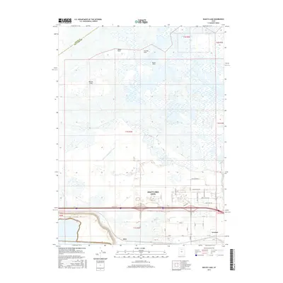
2017 Map of Baileys Lake
USGS Topo · Published 2017About this map
Salt Lake City spreads across the southeastern portion of this landscape, where industrial development and aviation infrastructure meet the marshy edges of the Great Salt Lake. The terrain transitions from the developed streets of the city to the brackish wetlands and knolls of the lake basin. Significant landmarks like Baileys Lake and Salt Spring illustrate the hydrology of the area, while the N Point Consolidated Canal highlights early efforts to manage water for irrigation and drainage. Named topographic features such as Browns Island, Rabbit Knoll, and Cow Bay Knoll rise above the flat, marshy expanse, marking the subtle elevation changes of the Salt Lake Valley. The presence of settlements like Riter and Terminal near major transportation corridors such as Interstate 80 reflects the mid-century growth and logistical importance of this corridor between the city center and the lake shore.
Find a feature on this map
41 named features on this map. Tap any name to fly to it.
Don’t see what you’re looking for? This feature index may not catch every label — zoom into the map to look around manually.
Map Details
Editions of this 2017 Baileys Lake Map
This is the sole edition of this map. No revisions or reprints were ever made.
Other maps of this area

1885 · Salt Lake
USGS Topo · 1:250,000

1885 · Tooele Valley
USGS Topo · 1:250,000

1925 · Ft. Douglas
USGS Topo · 1:125,000

1928 · Ft. Douglas
USGS Topo · 1:125,000

1951 · Saltair
USGS Topo · 1:24,000

1951 · Salt Lake City South
USGS Topo · 1:24,000

1951 · Salt Lake City North
USGS Topo · 1:24,000

1952 · Saltair NE
USGS Topo · 1:24,000

1952 · Farmington
USGS Topo · 1:24,000

1952 · Magna
USGS Topo · 1:24,000