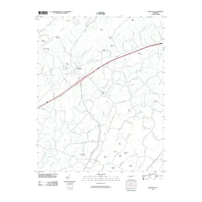
2010 Map of Baileyton
USGS Topo · Published 2010About this map
Baileyton sits at a geographic convergence in Greene County, where the valley of Lick Creek meets the elevations of Brown Mountain and Piney Mountain. This 2010 survey details a landscape where agriculture and rural habitation follow the winding path of water, as seen in the scattered settlements at Cross Anchor and along the Kidwell Branch. The map preserves several local landmarks of historical and genealogical significance, including the Bailey Cemetery, Moore Cemetery, and Caney Cemetery, reflecting generations of settlement in the valley. Industrial and utility infrastructure is marked by the Lick Creek Mill and both the Justis Dam and Lakeview Estates Dam. The terrain is characterized by numerous hollows and gaps, such as Doty Hollow and Gardner Gap, which have historically dictated the routing of local roads like the Horton Hwy and the winding Brittontown Rd.
Find a feature on this map
116 named features on this map. Tap any name to fly to it.
Don’t see what you’re looking for? This feature index may not catch every label — zoom into the map to look around manually.
Map Details
Editions of this 2010 Baileyton Map
This is the sole edition of this map. No revisions or reprints were ever made.
Other maps of this area

1892 · Greeneville
USGS Topo · 1:125,000

1896 · Greeneville
USGS Topo · 1:125,000

1904 · Greeneville
USGS Topo · 1:125,000

1935 · Surgoinsville
USGS Topo · 1:48,000

1935 · Baileyton
USGS Topo · 1:24,000

1935 · Lovelace
USGS Topo · 1:24,000

1935 · McCloud
USGS Topo · 1:24,000

1935 · Mosheim
USGS Topo · 1:24,000
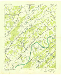
1935 · Burem
USGS Topo · 1:24,000
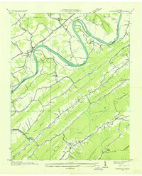
1935 · Stonypoint
USGS Topo · 1:24,000