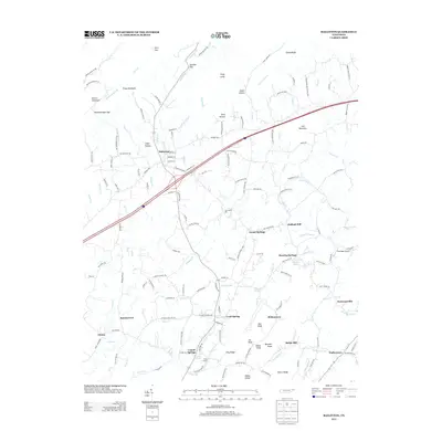
2013 Map of Baileyton
USGS Topo · Published 2013About this map
Baileyton and the surrounding rural communities of Greene County are defined by a landscape of ridges and hollows, where the drainage of Lick Creek shapes the local geography. Small settlements and crossroads like Ottway, Brittontown, and Castell Springs are connected by a network of local roads such as Ottaway Rd and Babbs Mill Rd. The map illustrates a persistent agricultural and residential pattern, with family names reflected in features like Babbs Mill, Holland Mill, and Walkertown.
Find a feature on this map
154 named features on this map. Tap any name to fly to it.
Don’t see what you’re looking for? This feature index may not catch every label — zoom into the map to look around manually.
Map Details
Editions of this 2013 Baileyton Map
This is the sole edition of this map. No revisions or reprints were ever made.
Other maps of this area

1892 · Greeneville
USGS Topo · 1:125,000

1896 · Greeneville
USGS Topo · 1:125,000

1904 · Greeneville
USGS Topo · 1:125,000

1935 · Surgoinsville
USGS Topo · 1:48,000

1935 · Baileyton
USGS Topo · 1:24,000

1935 · Lovelace
USGS Topo · 1:24,000

1935 · McCloud
USGS Topo · 1:24,000

1935 · Mosheim
USGS Topo · 1:24,000
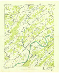
1935 · Burem
USGS Topo · 1:24,000
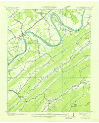
1935 · Stonypoint
USGS Topo · 1:24,000