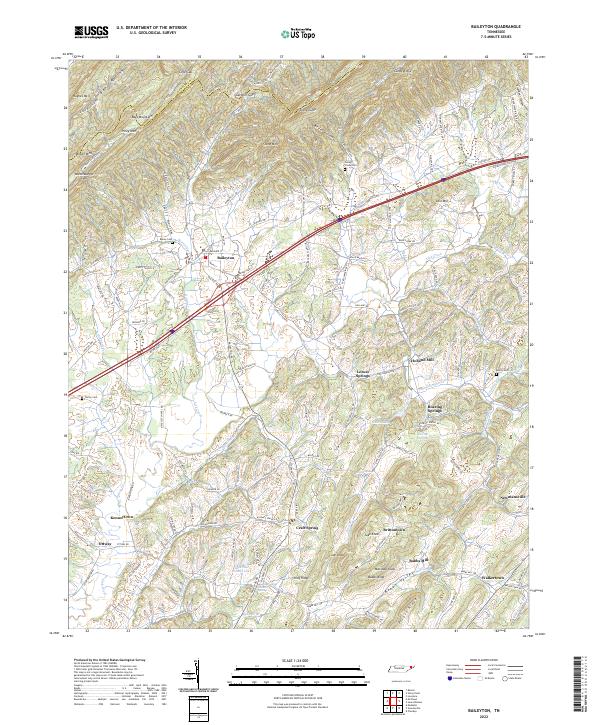
2022 Map of Baileyton
USGS Topo · Published 2022About this map
Bays Mountain and the high ridges of the Hawkins County line define the northern boundary of this Greene County landscape. The topography transitions from steep, wooded summits like Stony Lump and Stone Mountain into a fertile basin of small rural clusters and family-named knobs. This agricultural and residential pattern is anchored by Baileyton, situated along the historic Horton Highway.
Find a feature on this map
141 named features on this map. Tap any name to fly to it.
Don’t see what you’re looking for? This feature index may not catch every label — zoom into the map to look around manually.
Map Details
Editions of this 2022 Baileyton Map
This is the sole edition of this map. No revisions or reprints were ever made.
Other maps of this area

1892 · Greeneville
USGS Topo · 1:125,000

1896 · Greeneville
USGS Topo · 1:125,000

1904 · Greeneville
USGS Topo · 1:125,000

1935 · Surgoinsville
USGS Topo · 1:48,000

1935 · Baileyton
USGS Topo · 1:24,000

1935 · Lovelace
USGS Topo · 1:24,000

1935 · McCloud
USGS Topo · 1:24,000

1935 · Mosheim
USGS Topo · 1:24,000
1935 · Burem
USGS Topo · 1:24,000
1935 · Stonypoint
USGS Topo · 1:24,000