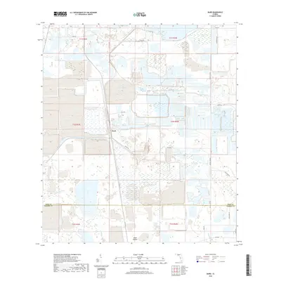
2018 Map of Baird
USGS Topo · Published 2018About this map
Baird and Fort Green anchor this South Florida landscape near the border of Polk and Hardee Counties, where the terrain is defined by a complex network of waterways and managed land. The area is heavily influenced by the drainage systems of Payne Creek and its tributaries, including Little Payne Creek and Olive Branch. Significant environmental features like Hookers Prairie in the northeast corner highlight the naturally low-lying, marshy character of the region.
Find a feature on this map
27 named features on this map. Tap any name to fly to it.
Don’t see what you’re looking for? This feature index may not catch every label — zoom into the map to look around manually.
Map Details
Editions of this 2018 Baird Map
This is the sole edition of this map. No revisions or reprints were ever made.
Other maps of this area

1949 · Bradley Junction
USGS Topo · 1:24,000

1950 · Bradley Junction
USGS Topo · 1:24,000

1952 · Homeland
USGS Topo · 1:24,000

1955 · Ft. Green
USGS Topo · 1:24,000

1955 · Bowling Green
USGS Topo · 1:24,000

1955 · Wauchula
USGS Topo · 1:24,000

1955 · Baird
USGS Topo · 1:24,000

1955 · Keysville
USGS Topo · 1:24,000

1956 · Duette NE
USGS Topo · 1:24,000

1956 · Duette
USGS Topo · 1:24,000