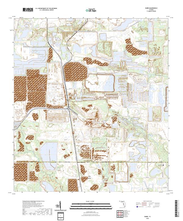
2024 Map of Baird
USGS Topo · Published 2024About this map
Payne Creek and its tributary Little Payne Creek define the low-lying drainage patterns of this Central Florida landscape, which spans the boundary of Polk and Hardee counties. The area is characterized by a mix of managed wetlands and industrial land use, with expansive basins such as Hookers Prairie in the north and the southern reaches of Hardee Lakes Park. Small settlements like Baird and Fort Green serve as local hubs, connected by a network of rural roads including Old Hwy 37 and Old Brewster Rd. The presence of the Paynes Creek Primitive Cem in the southeastern corner offers a specific point of interest for genealogists tracing early families in this phosphate-rich region. The map illustrates how local watercourses like the Olive Branch have shaped the placement of roads and property boundaries across the varied terrain.
Find a feature on this map
28 named features on this map. Tap any name to fly to it.
Don’t see what you’re looking for? This feature index may not catch every label — zoom into the map to look around manually.
Map Details
Editions of this 2024 Baird Map
This is the sole edition of this map. No revisions or reprints were ever made.
Other maps of this area

1949 · Bradley Junction
USGS Topo · 1:24,000

1950 · Bradley Junction
USGS Topo · 1:24,000

1952 · Homeland
USGS Topo · 1:24,000

1955 · Ft. Green
USGS Topo · 1:24,000

1955 · Bowling Green
USGS Topo · 1:24,000

1955 · Wauchula
USGS Topo · 1:24,000

1955 · Baird
USGS Topo · 1:24,000

1955 · Keysville
USGS Topo · 1:24,000

1956 · Duette NE
USGS Topo · 1:24,000

1956 · Duette
USGS Topo · 1:24,000