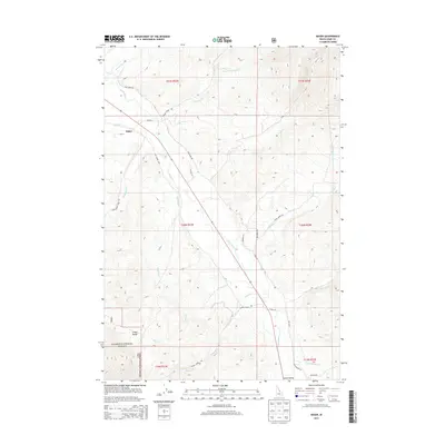
2013 Map of Baker
USGS Topo · Published 2013About this map
The Lemhi River valley serves as the central artery for this part of Lemhi County, Idaho, where the settlement of Baker sits along the foothills. The landscape is defined by the transition from the river bottomlands to the rising slopes of the Lemhi Range to the southwest and the high mountain drainages to the northeast. A network of ranch roads and historic alignments, such as Old Lemhi Rd and Old Highway 28, follows the natural contours of the valley, reflecting the area's long-standing reliance on the river corridor for travel and transport.
Find a feature on this map
35 named features on this map. Tap any name to fly to it.
Don’t see what you’re looking for? This feature index may not catch every label — zoom into the map to look around manually.
Map Details
Editions of this 2013 Baker Map
This is the sole edition of this map. No revisions or reprints were ever made.
Other maps of this area

1950 · Salmon
USGS Topo · 1:62,500

1951 · Salmon
USGS Topo · 1:62,500

1955 · Dubois
USGS Topo · 1:250,000

1955 · Dillon
USGS Topo · 1:250,000

1956 · Goldstone Mtn
USGS Topo · 1:62,500

1956 · Lemhi
USGS Topo · 1:62,500

1957 · Dillon
USGS Topo · 1:250,000

1958 · Dubois
USGS Topo · 1:250,000

1958 · Dillon
USGS Topo · 1:250,000

1962 · Dillon
USGS Topo · 1:250,000