
1956 Map of Lemhi
USGS Topo · Published 1960About this map
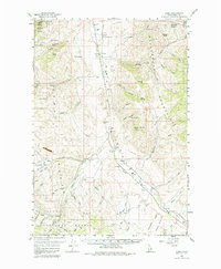
Fort Lemhi Monument and the Sacajawea Monument anchor the historical landscape of this valley during the mid-1950s. The settlement of Tendoy sits at the base of the Beaverhead Mountains, where Agency Creek meets the Lemhi River. This area serves as a vital corridor between the high peaks and the river valley, evidenced by the scattered prospects, a sawmill, and a fish hatchery that supported the local economy.
Find a feature on this map
57 named features on this map. Tap any name to fly to it.
Don’t see what you’re looking for? This feature index may not catch every label — zoom into the map to look around manually.
Map Details
Editions of this 1956 Lemhi Map
3 editions found
Other maps of this area

1950 · Salmon
USGS Topo · 1:62,500

1951 · Salmon
USGS Topo · 1:62,500

1955 · Dubois
USGS Topo · 1:250,000

1955 · Dillon
USGS Topo · 1:250,000

1956 · Leadore
USGS Topo · 1:62,500

1956 · Patterson
USGS Topo · 1:62,500

1956 · May
USGS Topo · 1:62,500

1956 · Goldstone Mtn
USGS Topo · 1:62,500

1957 · Dillon
USGS Topo · 1:250,000

1958 · Dubois
USGS Topo · 1:250,000