
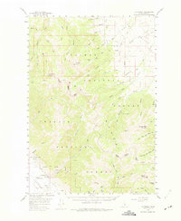
1956 Map of Patterson
USGS Topo · Published 1959About this map
The Pahsimeroi Valley meets the high peaks of the Lemhi Valley region in this mid-century survey of the Idaho interior. This map documents a landscape defined by its high-altitude resource extraction and remote infrastructure, centered on the settlement of Patterson. The presence of the Ima Mine and the Blue Jay Mine suggests a mining economy that persisted into the post-war era, while the Patterson Airport provided a vital link for this isolated mountain community.
Find a feature on this map
51 named features on this map. Tap any name to fly to it.
Don’t see what you’re looking for? This feature index may not catch every label — zoom into the map to look around manually.
Map Details
Editions of this 1956 Patterson Map
2 editions found
Other maps of this area

1935 · Borah Peak
USGS Topo · 1:125,000

1938 · Borah Peak
USGS Topo · 1:125,000

1955 · Dubois
USGS Topo · 1:250,000

1956 · Leadore
USGS Topo · 1:62,500

1956 · Donkey Hills
USGS Topo · 1:62,500

1956 · Doublespring
USGS Topo · 1:62,500

1956 · May
USGS Topo · 1:62,500

1956 · Lemhi
USGS Topo · 1:62,500

1957 · Gilmore
USGS Topo · 1:62,500

1958 · Dubois
USGS Topo · 1:250,000