
1950 Map of Salmon
USGS Topo · Published 1962About this map
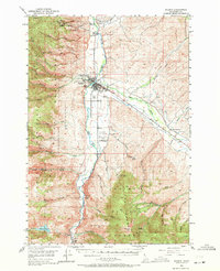
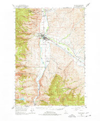
The town of Salmon serves as the central hub of this mid-century Idaho landscape, situated at the confluence where the Lemhi River meets the Salmon River. The map illustrates a region transitioning between active industry and legacy operations, noted by several prominent mining sites such as the Queen of the Hills Mine to the north and the Pope-Shenon Mine in the southern hills, alongside sites like the Tormey Mine and Harmony Mine. Local infrastructure is well-defined, featuring the Salmon Airport, the Salmon River Airpark, and the County Fairground north of the town center.
Find a feature on this map
45 named features on this map. Tap any name to fly to it.
Don’t see what you’re looking for? This feature index may not catch every label — zoom into the map to look around manually.
Map Details
Editions of this 1950 Salmon Map
3 editions found
Other maps of this area

1950 · Leesburg
USGS Topo · 1:62,500

1951 · Leesburg
USGS Topo · 1:62,500

1951 · Salmon
USGS Topo · 1:62,500

1955 · Dubois
USGS Topo · 1:250,000

1955 · Dillon
USGS Topo · 1:250,000

1956 · Goldstone Mtn
USGS Topo · 1:62,500

1956 · Lemhi
USGS Topo · 1:62,500

1956 · Elk City
USGS Topo · 1:250,000

1957 · Dillon
USGS Topo · 1:250,000

1957 · Challis
USGS Topo · 1:250,000