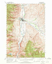
1950 Map of Salmon
USGS Topo · Published 1971About this map
The confluence of the Salmon River and the Lemhi River serves as the focal point for this mid-century survey of the Lemhi County seat. This era shows Salmon as a critical regional hub, with two aviation facilities—the Salmon Airport and the Salmon River Airpark—flanking the river south of the main settlement. The landscape is a study in resource extraction and ranching, where numerous prospects and established mining operations like the Queen of the Hills Mine and Pope-Shenon Mine dot the surrounding Salmon River Mountains and the Lemhi Range. Local infrastructure of the time is visible in details such as the Geertson Creek Sch and the Lake Creek Ranch near Williams Lake. The map records a complex network of creeks and canyons, including Jesse Creek and Pollard Canyon, that defined the early accessibility of the mountain backcountry during this postwar period.
Find a feature on this map
54 named features on this map. Tap any name to fly to it.
Don’t see what you’re looking for? This feature index may not catch every label — zoom into the map to look around manually.
Map Details
Editions of this 1950 Salmon Map
3 editions found
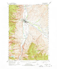
Other maps of this area

1950 · Salmon
USGS Topo · 1:62,500

1950 · Leesburg
USGS Topo · 1:62,500

1951 · Leesburg
USGS Topo · 1:62,500

1951 · Salmon
USGS Topo · 1:62,500

1955 · Dubois
USGS Topo · 1:250,000

1955 · Dillon
USGS Topo · 1:250,000

1956 · Goldstone Mtn
USGS Topo · 1:62,500

1956 · Lemhi
USGS Topo · 1:62,500

1956 · Elk City
USGS Topo · 1:250,000

1957 · Dillon
USGS Topo · 1:250,000