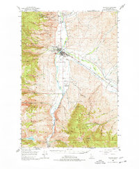
1950 Map of Salmon
USGS Topo · Published 1977About this map
The confluence of the Salmon River and the Lemhi River serves as the focal point for this 1950s-era survey of the Idaho high country. The town of Salmon sits at this junction, showing a developed street grid and local infrastructure like the Salmon River Airpark and the nearby Geertson Creek Sch. The surrounding landscape is defined by the steep Salmon River Mountains and the Lemhi Range, where high peaks like Morning Glory Peak and Sal Mtn rise above the drainage basins.
Find a feature on this map
54 named features on this map. Tap any name to fly to it.
Don’t see what you’re looking for? This feature index may not catch every label — zoom into the map to look around manually.
Map Details
Editions of this 1950 Salmon Map
3 editions found
Other maps of this area

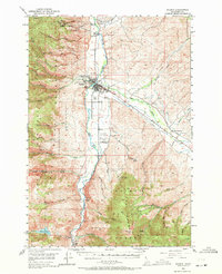
1950 · Salmon
USGS Topo · 1:62,500

1950 · Leesburg
USGS Topo · 1:62,500

1951 · Leesburg
USGS Topo · 1:62,500

1951 · Salmon
USGS Topo · 1:62,500

1955 · Dubois
USGS Topo · 1:250,000

1955 · Dillon
USGS Topo · 1:250,000

1956 · Goldstone Mtn
USGS Topo · 1:62,500

1956 · Lemhi
USGS Topo · 1:62,500

1956 · Elk City
USGS Topo · 1:250,000

1957 · Dillon
USGS Topo · 1:250,000