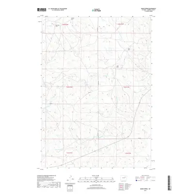
2017 Map of Baker Spring
USGS Topo · Published 2017About this map
Baker Spring and the winding course of the Belle Fourche River anchor this Campbell County landscape, illustrating the critical role of water in the Wyoming high plains. The drainage network is particularly dense here, with named features like Fourmile Cr, All Night Cr, and S All Night Cr carving through the terrain. These ephemeral and perennial water sources have historically dictated the placement of ranching infrastructure and local travel routes in a region defined by its vast open spaces.
Find a feature on this map
19 named features on this map. Tap any name to fly to it.
Don’t see what you’re looking for? This feature index may not catch every label — zoom into the map to look around manually.
Map Details
Editions of this 2017 Baker Spring Map
This is the sole edition of this map. No revisions or reprints were ever made.
Other maps of this area

1953 · Savageton
USGS Topo · 1:24,000

1953 · South Butte
USGS Topo · 1:24,000

1954 · Pine Tree
USGS Topo · 1:24,000

1955 · Newcastle
USGS Topo · 1:250,000

1958 · Newcastle
USGS Topo · 1:250,000

1959 · Savageton
USGS Topo · 1:62,500

1959 · North Star School
USGS Topo · 1:62,500

1960 · Turnercrest
USGS Topo · 1:62,500

1974 · Reno Junction
USGS Topo · 1:100,000

1984 · Turnercrest
USGS Topo · 1:24,000