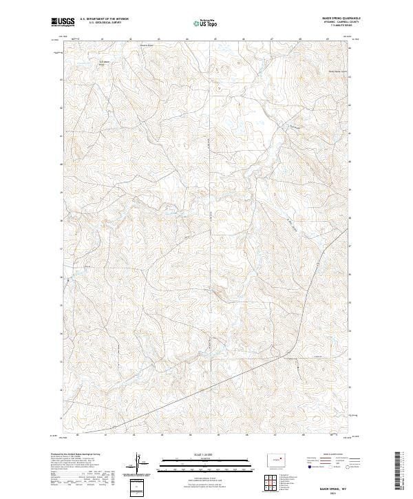
2021 Map of Baker Spring
USGS Topo · Published 2021About this map
Belle Fourche River meanders through this section of Campbell County, serving as the primary drainage for a landscape defined by seasonal draws and springs. The area is characterized by its traditional livestock grazing lands, evidenced by the network of unpaved access routes like Clarkelen Rd and Todd Rd. Water remains the most critical feature in this arid environment, with named landmarks such as Baker Spring, All Night Cr, and Soft Water Draw marking essential locations for local land management and historical navigation. These features, along with the distinctively named Rocky Butte Gulch, illustrate the local vernacular of the Wyoming plains and the way topographic markers have historically delineated ranching territories and property lines across the various township and range divisions.
Find a feature on this map
19 named features on this map. Tap any name to fly to it.
Don’t see what you’re looking for? This feature index may not catch every label — zoom into the map to look around manually.
Map Details
Editions of this 2021 Baker Spring Map
This is the sole edition of this map. No revisions or reprints were ever made.
Other maps of this area

1953 · Savageton
USGS Topo · 1:24,000

1953 · South Butte
USGS Topo · 1:24,000

1954 · Pine Tree
USGS Topo · 1:24,000

1955 · Newcastle
USGS Topo · 1:250,000

1958 · Newcastle
USGS Topo · 1:250,000

1959 · Savageton
USGS Topo · 1:62,500

1959 · North Star School
USGS Topo · 1:62,500

1960 · Turnercrest
USGS Topo · 1:62,500

1974 · Reno Junction
USGS Topo · 1:100,000

1984 · Turnercrest
USGS Topo · 1:24,000