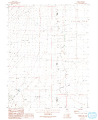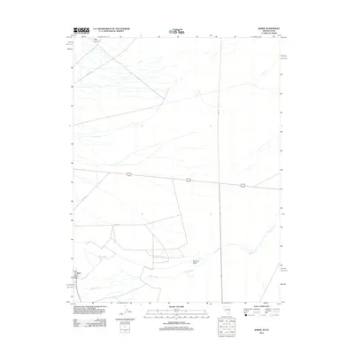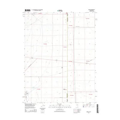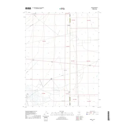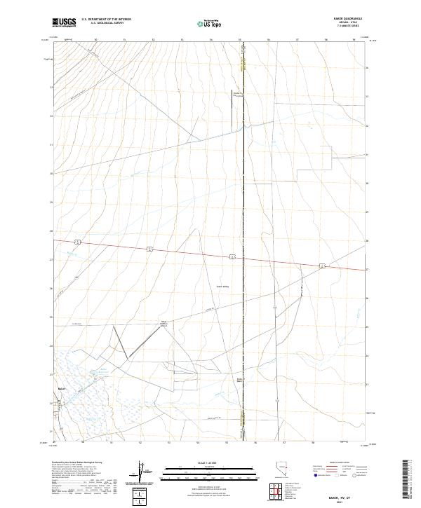
2021 Map of Baker
USGS Topo · Published 2021About this map
Baker stands as the primary settlement on this modern survey of the High Desert along the Nevada-Utah border. The landscape of the Snake Valley is defined by a complex drainage system flowing from the west, including Lehman Cr, Baker Cr, and Weaver Cr. Water management is central to the area's geography, evidenced by the Baker Reservoir and the curious Sinks of Baker where local waters dissipate into the valley floor. Agriculture and aviation are intertwined in this high-altitude basin, with both the Border Line Farm Airport and Baker Ranches Airport serving the remote ranching community. The map also traces a network of local roads such as Rock Canyon Rd and N Fence Rd, providing a detailed look at contemporary land use and boundary lines within White Pine County.
Find a feature on this map
24 named features on this map. Tap any name to fly to it.
Don’t see what you’re looking for? This feature index may not catch every label — zoom into the map to look around manually.
Map Details
Editions of this 2021 Baker Map
This is the sole edition of this map. No revisions or reprints were ever made.
Historical Maps of Millard County Through Time
5 maps found