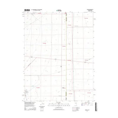
2014 Map of Baker
USGS Topo · Published 2014About this map
Baker sits at the western edge of the expansive Snake Valley, serving as a gateway to the high-altitude drainage systems flowing from the west. This 2014 survey captures the intricate water management and road network of the Nevada-Utah borderlands, where Lehman Cr and Baker Cr converge near the settlement before feeding into the Baker Reservoir. The landscape is defined by its transition from the deep incision of Rock Canyon to the mysterious terminal drainage point at the Sinks of Baker. A grid of local roads, including Baker Shortcut Rd and N Fence Rd, provides access to this high-desert ranching and recreation hub. The map also delineates the precise state line, showing how Eskdale Rd and the Eskdale Cutoff Rd bridge the boundary between White Pine County, Nevada, and Millard County, Utah.
Find a feature on this map
34 named features on this map. Tap any name to fly to it.
Don’t see what you’re looking for? This feature index may not catch every label — zoom into the map to look around manually.
Map Details
Editions of this 2014 Baker Map
This is the sole edition of this map. No revisions or reprints were ever made.
Other maps of this area

1908 · Fish Springs
USGS Topo · 1:250,000

1910 · Fish Springs
USGS Topo · 1:250,000

1949 · Garrison
USGS Topo · 1:62,500

1951 · Garrison
USGS Topo · 1:62,500

1953 · Richfield
USGS Topo · 1:250,000

1953 · Delta
USGS Topo · 1:250,000

1956 · Lund
USGS Topo · 1:250,000

1956 · Ely
USGS Topo · 1:250,000

1958 · Richfield
USGS Topo · 1:250,000

1958 · Delta
USGS Topo · 1:250,000