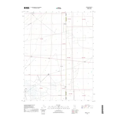
2018 Map of Baker
USGS Topo · Published 2018About this map
Baker and the surrounding Snake Valley define this high-desert landscape on the Nevada-Utah border. The settlement is centered near the junction of several vital water sources, including Lehman Cr and Baker Cr, which flow eastward toward the Sinks of Baker. This 2018 survey reveals the infrastructure of an arid ranching and agricultural community, where the Baker Reservoir serves as a critical water management feature. The presence of both the Baker Ranches Airport and the Border Line Farm Airport highlights the necessity of private aviation in this remote basin. Transportation through the valley is mapped via traditional routes like N Fence Rd and Cut Off Rd, connecting the scattered ranches to the drainage systems of Silver Cr and Rock Canyon to the north.
Find a feature on this map
29 named features on this map. Tap any name to fly to it.
Don’t see what you’re looking for? This feature index may not catch every label — zoom into the map to look around manually.
Map Details
Editions of this 2018 Baker Map
This is the sole edition of this map. No revisions or reprints were ever made.
Other maps of this area

1908 · Fish Springs
USGS Topo · 1:250,000

1910 · Fish Springs
USGS Topo · 1:250,000

1949 · Garrison
USGS Topo · 1:62,500

1951 · Garrison
USGS Topo · 1:62,500

1953 · Richfield
USGS Topo · 1:250,000

1953 · Delta
USGS Topo · 1:250,000

1956 · Lund
USGS Topo · 1:250,000

1956 · Ely
USGS Topo · 1:250,000

1958 · Richfield
USGS Topo · 1:250,000

1958 · Delta
USGS Topo · 1:250,000