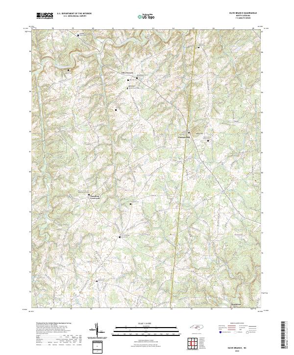
2022 Map of Bakers
USGS Topo · Published 2022About this map
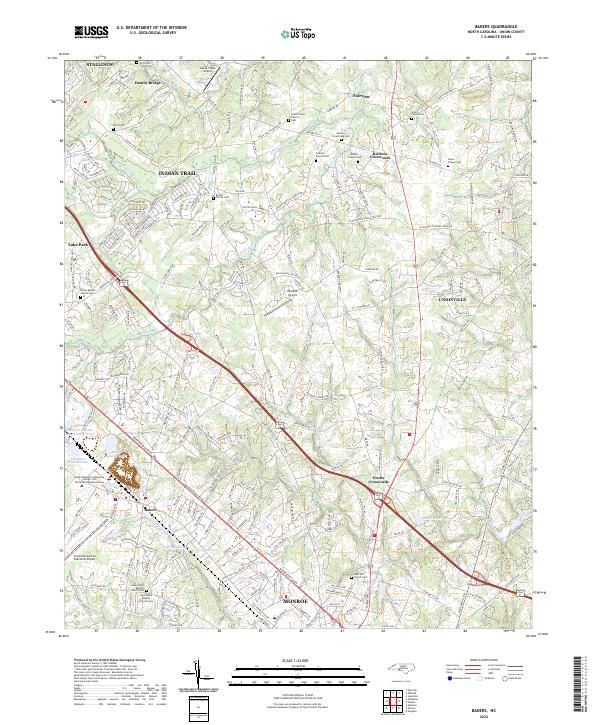
Indian Trail and the surrounding Union County countryside are defined by a complex network of creeks and numerous small family and church cemeteries. The drainage of Crooked Creek and its many forks, including N Fork Crooked Cr and S Fork Crooked Cr, carves through the landscape, alongside other water bodies like Stewarts Cr and Baucom Lake. The area reflects a history of small communities at crossroads, such as Bentons Crossroads and Fowler Crossroads, where local landmarks like the Bentons Crossroads Cem and Friendly Church Cem preserve family names and local lineages.
Find a feature on this map
223 named features on this map. Tap any name to fly to it.
Don’t see what you’re looking for? This feature index may not catch every label — zoom into the map to look around manually.
Map Details
Editions of this 2022 Bakers Map
This is the sole edition of this map. No revisions or reprints were ever made.
Historical Maps of Indian Trail Through Time
6 maps found