
1906 Map of Bakersfield
USGS Topo · Published 1906About this map
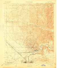
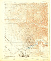
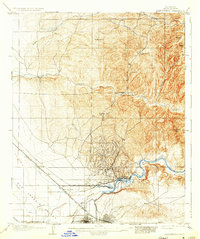
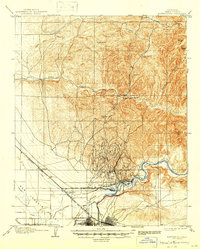
Bakersfield sits at the edge of a rapidly industrializing landscape during the early 1900s, where the convergence of rail lines and early petroleum development shaped the San Joaquin Valley. This survey documents the proliferation of oil-related settlements like Oil City and Oil Center, situated just north of the Kern River. The complex web of irrigation infrastructure, including the Kern Island Canal and Beardsley Irrigation Canal, illustrates the parallel growth of intensive agriculture alongside the energy boom. To the north, the terrain transitions into more rugged canyons and landmarks like Mon Bluff and Round Mtn, where remnants of frontier transit are still visible at the Stage Station. The presence of the Fullers Earth Mine in Granite Canyon further highlights the diverse extractive industries active in Kern County during this era.
Find a feature on this map
30 named features on this map. Tap any name to fly to it.
Don’t see what you’re looking for? This feature index may not catch every label — zoom into the map to look around manually.
Map Details
Editions of this 1906 Bakersfield Map
5 editions found
Other maps of this area

1910 · Buena Vista Lake
USGS Topo · 1:125,000

1912 · Buena Vista Lake
USGS Topo · 1:125,000

1914 · Caliente
USGS Topo · 1:125,000

1927 · McFarland
USGS Topo · 1:31,680

1929 · Stevens
USGS Topo · 1:31,680

1929 · Fairfax School
USGS Topo · 1:31,680

1930 · McFarland
USGS Topo · 1:31,680

1930 · Famoso
USGS Topo · 1:31,680

1930 · Rosedale
USGS Topo · 1:31,680

1930 · Oildale
USGS Topo · 1:31,680