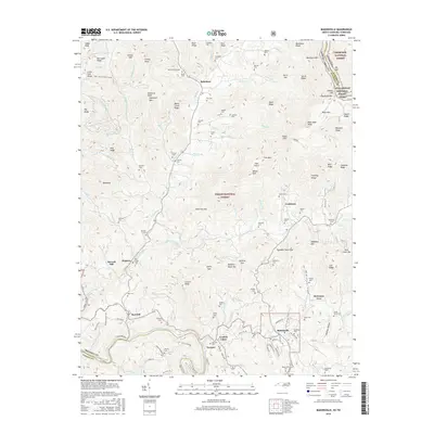
2016 Map of Bakersville
USGS Topo · Published 2016About this map
Bakersville serves as the focal point of this Mitchell County landscape, where the valley floor meets the steep ascent of the Blue Ridge mountains. The map documents a dense network of family history through its numerous burial grounds, such as Bakersville Cem, Green Young Cem, and McKinney Cem. These sites are interspersed among small communities like Loafers Glory, Toecane, and McKinney Cove, illustrating the long-standing settlement patterns of the region's mountain hollows.
Find a feature on this map
148 named features on this map. Tap any name to fly to it.
Don’t see what you’re looking for? This feature index may not catch every label — zoom into the map to look around manually.
Map Details
Editions of this 2016 Bakersville Map
This is the sole edition of this map. No revisions or reprints were ever made.
Other maps of this area

1891 · Roan Mountain
USGS Topo · 1:125,000

1894 · Roan Mountain
USGS Topo · 1:125,000

1900 · Mount Mitchell
USGS Topo · 1:125,000

1902 · Mount Mitchell
USGS Topo · 1:125,000

1904 · Roan Mountain
USGS Topo · 1:125,000
1934 · Micaville
USGS Topo · 1:24,000
1934 · Spruce Pine
USGS Topo · 1:24,000
1934 · White Rocks Mtn
USGS Topo · 1:24,000
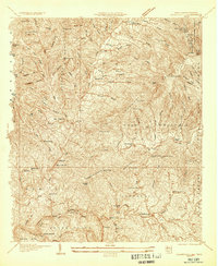
1934 · Bakersville
USGS Topo · 1:24,000
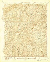
1934 · Iron Mtn Gap
USGS Topo · 1:24,000