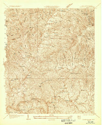
1934 Map of Bakersville
USGS Topo · Published 1934About this map
Bakersville serves as the focal point for this 1934 survey, situated at the confluence of several mountain streams. The settlement of Loafers Glory and the railroad stop at Toecane illustrate the small-scale commerce and industry found along the C C & O R R corridor. This era reveals a landscape deeply partitioned by high ridges like Harrell Mountain and Fork Mountain, where local life centered around remote community institutions such as St Pauls Ch, Bad Creek Sch, and Burleson Chapel.
Find a feature on this map
108 named features on this map. Tap any name to fly to it.
Don’t see what you’re looking for? This feature index may not catch every label — zoom into the map to look around manually.
Map Details
Editions of this 1934 Bakersville Map
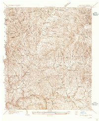
2 editions found
Other maps of this area

1891 · Roan Mountain
USGS Topo · 1:125,000

1894 · Roan Mountain
USGS Topo · 1:125,000

1900 · Mount Mitchell
USGS Topo · 1:125,000

1902 · Mount Mitchell
USGS Topo · 1:125,000

1904 · Roan Mountain
USGS Topo · 1:125,000
1934 · Micaville
USGS Topo · 1:24,000
1934 · Spruce Pine
USGS Topo · 1:24,000
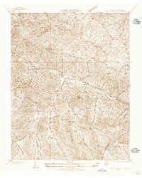
1934 · White Rocks Mtn
USGS Topo · 1:24,000
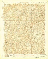
1934 · Iron Mtn Gap
USGS Topo · 1:24,000
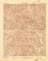
1934 · Carvers Gap
USGS Topo · 1:24,000