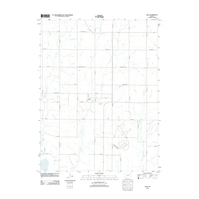
2012 Map of Bala
USGS Topo · Published 2012About this map
The small settlement of Bala serves as the focal point of this agricultural landscape in Riley County, where the topography is defined by the drainages of Timber Cr and Mall Cr. These waterways, along with Madison Cr and Dry Cr, cut through a grid of section roads that speak to the area's enduring rural character. In the southwest corner, the Republican River provides a glimpse of the region's larger hydrographic network, while the local road names, such as Fairview Church Rd and Welsh Rd, hint at the social and cultural history of the farming communities that established themselves here. Genealogists and local historians can pinpoint the location of the Bala Cem just south of the main cluster of homes, offering a specific point of reference for family research in this quiet corner of Kansas.
Find a feature on this map
40 named features on this map. Tap any name to fly to it.
Don’t see what you’re looking for? This feature index may not catch every label — zoom into the map to look around manually.
Map Details
Editions of this 2012 Bala Map
This is the sole edition of this map. No revisions or reprints were ever made.
Other maps of this area

1886 · Junction City
USGS Topo · 1:125,000

1889 · Junction City
USGS Topo · 1:125,000

1891 · Clay Center
USGS Topo · 1:125,000

1894 · Junction City
USGS Topo · 1:125,000

1947 · Fort Riley
USGS Topo · 1:62,500

1951 · Wind Creek
USGS Topo · 1:24,000

1951 · Milford
USGS Topo · 1:24,000

1955 · Fort Riley NE
USGS Topo · 1:24,000

1955 · Milford
USGS Topo · 1:24,000

1955 · Manhattan
USGS Topo · 1:250,000