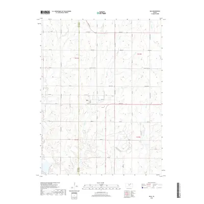
2018 Map of Bala
USGS Topo · Published 2018About this map
Bala centers this rural landscape in western Riley County, where the settlement and its adjacent Bala Cem sit along the rolling uplands near the border with Clay County. The terrain is defined by a dense network of drainage, primarily shaped by Mall Cr and its tributary W Br Mall Cr flowing through the western sections. The map reveals a highly structured grid of section lines and county roads that navigate the intermittent watercourses like Lasita Branch and Wildcat Cr. This 2018 data illustrates the enduring agricultural layout of the region, where township and range lines like t8s r4e and t8s r5e still dictate the placement of farmsteads and rural infrastructure in the Kansas interior.
Find a feature on this map
11 named features on this map. Tap any name to fly to it.
Don’t see what you’re looking for? This feature index may not catch every label — zoom into the map to look around manually.
Map Details
Editions of this 2018 Bala Map
This is the sole edition of this map. No revisions or reprints were ever made.
Other maps of this area

1886 · Junction City
USGS Topo · 1:125,000

1889 · Junction City
USGS Topo · 1:125,000

1891 · Clay Center
USGS Topo · 1:125,000

1894 · Junction City
USGS Topo · 1:125,000

1947 · Fort Riley
USGS Topo · 1:62,500

1951 · Wind Creek
USGS Topo · 1:24,000

1951 · Milford
USGS Topo · 1:24,000

1955 · Fort Riley NE
USGS Topo · 1:24,000

1955 · Milford
USGS Topo · 1:24,000

1955 · Manhattan
USGS Topo · 1:250,000