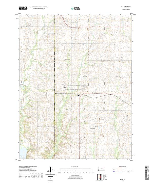
2022 Map of Bala
USGS Topo · Published 2022About this map
Bala sits at the heart of this agricultural landscape in the Flint Hills region, positioned near the junction of Bala Rd and Jenkins RD. The settlement pattern follows a rigid township-and-range grid, with the Clay Co Riley Co line serving as a primary north-south divider. Local history is anchored by the Bala Cem south of the main townsite, reflecting the Welsh heritage of this rural community. The terrain is defined by a dense network of drainage systems, including Timber Cr and Mall Cr, which carve into the upland prairies. Roadways like Lasita Branch and Fairview Church Rd connect dispersed farmsteads, while the naming of Madison Cr and Wildcat Cr in the east highlights the persistent importance of natural watercourses in navigating and parceling the Kansas interior.
Find a feature on this map
46 named features on this map. Tap any name to fly to it.
Don’t see what you’re looking for? This feature index may not catch every label — zoom into the map to look around manually.
Map Details
Editions of this 2022 Bala Map
This is the sole edition of this map. No revisions or reprints were ever made.
Other maps of this area

1886 · Junction City
USGS Topo · 1:125,000

1889 · Junction City
USGS Topo · 1:125,000

1891 · Clay Center
USGS Topo · 1:125,000

1894 · Junction City
USGS Topo · 1:125,000

1947 · Fort Riley
USGS Topo · 1:62,500

1951 · Wind Creek
USGS Topo · 1:24,000

1951 · Milford
USGS Topo · 1:24,000

1955 · Fort Riley NE
USGS Topo · 1:24,000

1955 · Milford
USGS Topo · 1:24,000

1955 · Manhattan
USGS Topo · 1:250,000