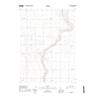
2020 Map of Balanced Rock
USGS Topo · Published 2020About this map
Salmon Falls Creek carves a deep, winding path through the volcanic landscape of southern Idaho, forming the centerpiece of this geographic study. To the west, the arid Bruneau Desert meets the dramatic contours of Sinking Canyon, where the rugged topography drops away from the surrounding high plateau. The namesake Balanced Rock stands as a notable geological landmark, accessible via Balanced Rock Rd and Castleford Glenns Ferry Rd.
Find a feature on this map
35 named features on this map. Tap any name to fly to it.
Don’t see what you’re looking for? This feature index may not catch every label — zoom into the map to look around manually.
Map Details
Editions of this 2020 Balanced Rock Map
This is the sole edition of this map. No revisions or reprints were ever made.
Other maps of this area

1949 · Thousand Springs
USGS Topo · 1:24,000

1951 · Thousand Springs
USGS Topo · 1:24,000

1954 · Thousand Springs
USGS Topo · 1:24,000

1955 · Twin Falls
USGS Topo · 1:250,000

1958 · Twin Falls
USGS Topo · 1:250,000

1958 · Buhl
USGS Topo · 1:24,000

1959 · Buhl
USGS Topo · 1:62,500

1959 · Crows Nest
USGS Topo · 1:62,500

1965 · Roseworth NE
USGS Topo · 1:24,000

1965 · Tuanna Butte
USGS Topo · 1:24,000