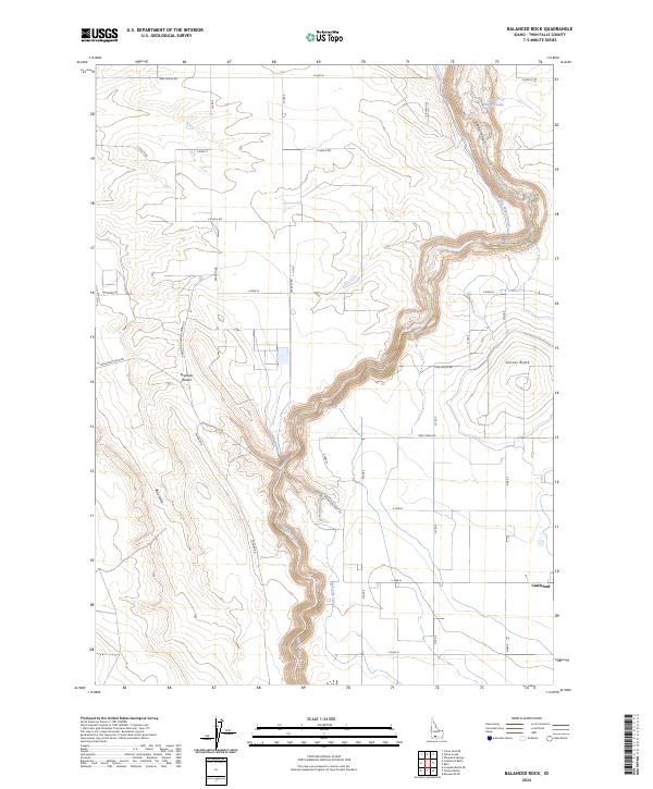
2024 Map of Balanced Rock
USGS Topo · Published 2024About this map
Salmon Falls Creek carves a deep path through the high desert of southwestern Twin Falls County, defining the agricultural and geological character of this region. The settlement of Castleford sits at the eastern edge of the survey, serving as a hub for the surrounding plateau. The landscape is a study in water management, where the Magic Water Canal and High Line Canal distribute resources across the arid flats.
Find a feature on this map
29 named features on this map. Tap any name to fly to it.
Don’t see what you’re looking for? This feature index may not catch every label — zoom into the map to look around manually.
Map Details
Editions of this 2024 Balanced Rock Map
This is the sole edition of this map. No revisions or reprints were ever made.
Other maps of this area

1949 · Thousand Springs
USGS Topo · 1:24,000

1951 · Thousand Springs
USGS Topo · 1:24,000

1954 · Thousand Springs
USGS Topo · 1:24,000

1955 · Twin Falls
USGS Topo · 1:250,000

1958 · Twin Falls
USGS Topo · 1:250,000

1958 · Buhl
USGS Topo · 1:24,000

1959 · Buhl
USGS Topo · 1:62,500

1959 · Crows Nest
USGS Topo · 1:62,500

1965 · Roseworth NE
USGS Topo · 1:24,000

1965 · Tuanna Butte
USGS Topo · 1:24,000