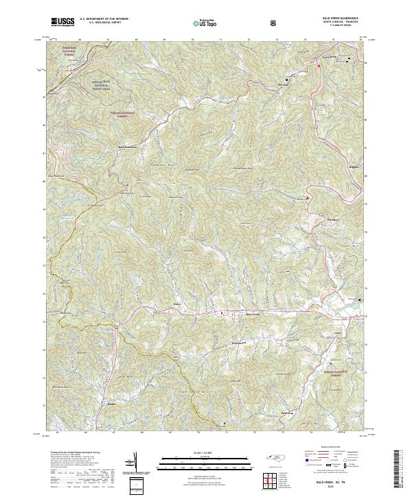
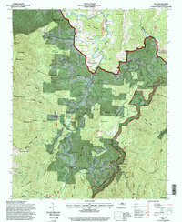
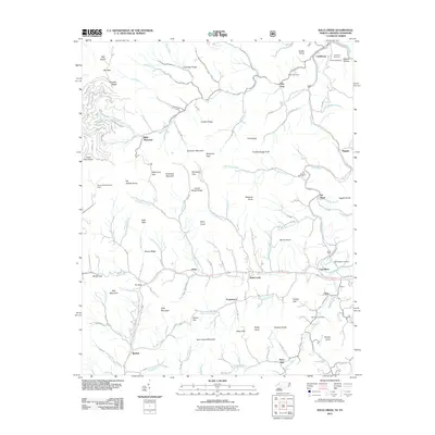
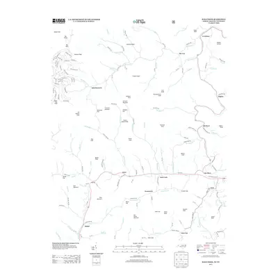
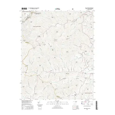
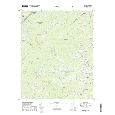
2022 Map of Bald Creek
USGS Topo · Published 2022About this map
Cane River defines the drainage of this mountain landscape in western North Carolina, where the Appalachian National Scenic Trail winds along the high ridges of the Cherokee National Forest and Pisgah National Forest. Small communities and family settlements are concentrated in the narrow valleys, connected by roads such as Possum Trot Rd and Lickskillet Rd. The map documents numerous local landmarks, including the curiously named Possumtrot and several long-established burial grounds like Elk Shoal Cem and Edwards Cem. From the heights of Bald Mountain and Sampson Peak down to the creek-side crossings at Bee Log and Swiss, the map illustrates a traditional Appalachian settlement pattern where geography dictates the layout of both transport and social life.
Find a feature on this map
110 named features on this map. Tap any name to fly to it.
Don’t see what you’re looking for? This feature index may not catch every label — zoom into the map to look around manually.
Map Details
Editions of this 2022 Bald Creek Map
This is the sole edition of this map. No revisions or reprints were ever made.
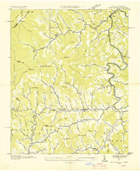
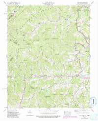
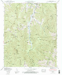
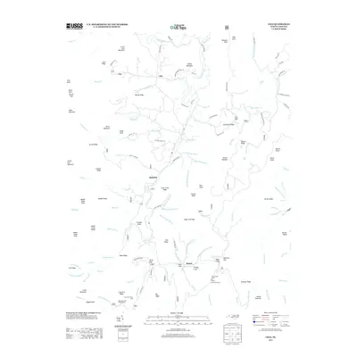
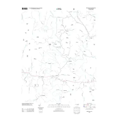
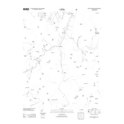
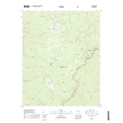
Historical Maps of Bee Log Through Time
30 maps found

1934 Micaville
Yancey County, NC

1934 Parts Of Celo And Black Brothers
Yancey County, NC
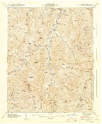
1935 Bald Creek
Yancey County, NC

1935 Black Brothers
Yancey County, NC
1939 Bald Creek
Yancey County, NC
1946 Mt. Mitchell
Yancey County, NC
1947 Black Brothers
Yancey County, NC
1960 Celo
Yancey County, NC
1960 Micaville
Yancey County, NC
1994 Celo
Yancey County, NC
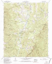
2011 Bald Creek
Yancey County, NC
2011 Celo
Yancey County, NC
2011 Micaville
Yancey County, NC
2011 Mount Mitchell
Yancey County, NC
2013 Bald Creek
Yancey County, NC
2013 Celo
Yancey County, NC
2013 Micaville
Yancey County, NC
2013 Mount Mitchell
Yancey County, NC
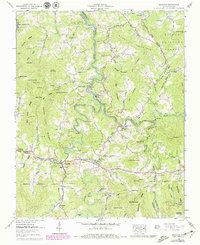
2016 Bald Creek
Yancey County, NC
2016 Celo
Yancey County, NC
2016 Micaville
Yancey County, NC
2016 Mount Mitchell
Yancey County, NC
2019 Bald Creek
Yancey County, NC
2019 Celo
Yancey County, NC
2019 Micaville
Yancey County, NC
2019 Mount Mitchell
Yancey County, NC
2022 Bald Creek
Yancey County, NC
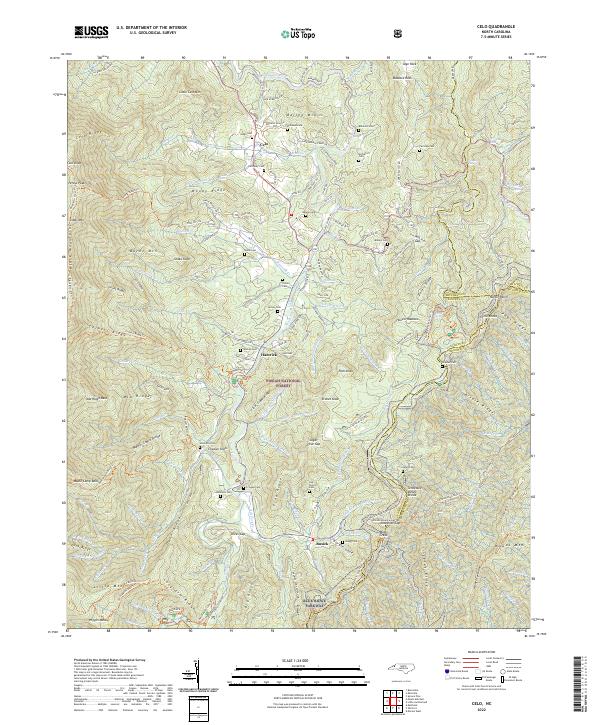
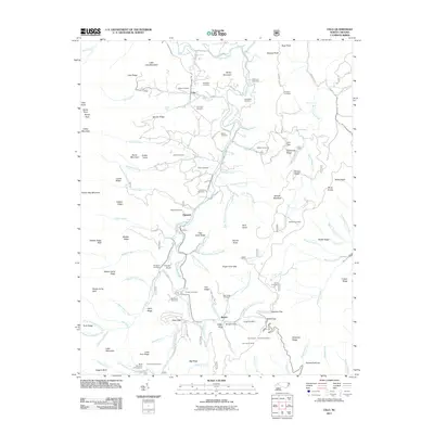
2022 Celo
Yancey County, NC
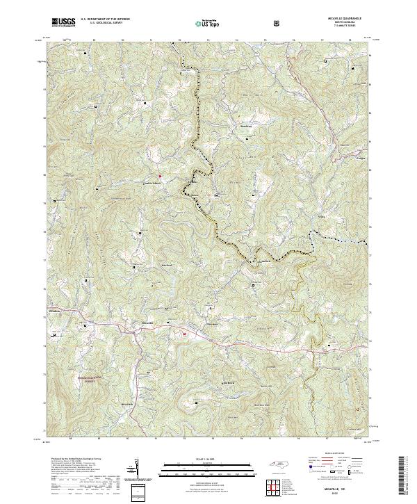
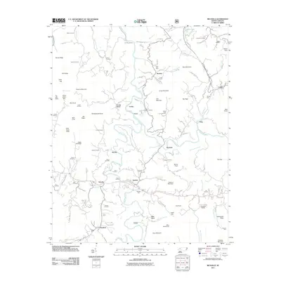
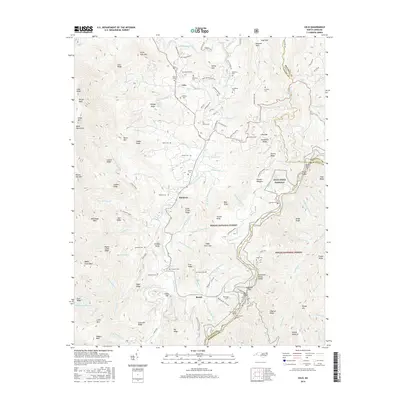
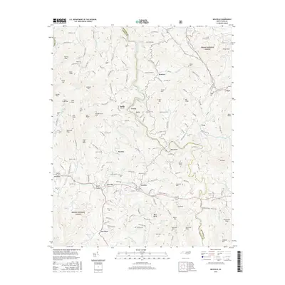
2022 Micaville
Yancey County, NC
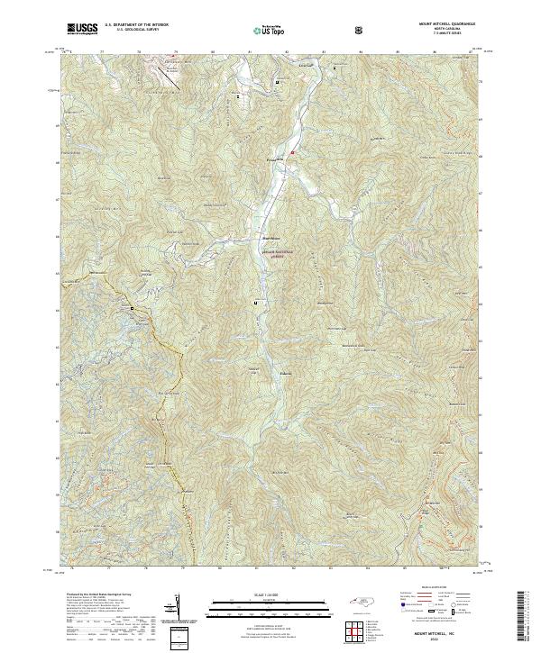
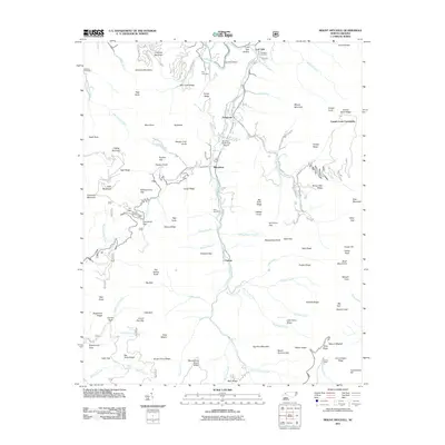
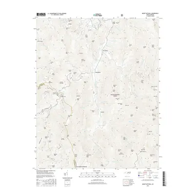
2022 Mount Mitchell
Yancey County, NC