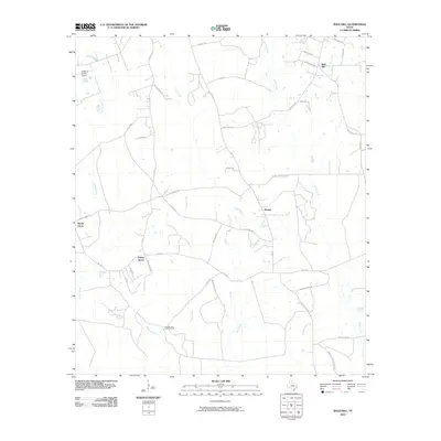
2010 Map of Bald Hill
USGS Topo · Published 2010About this map
Biloxi Creek and Stovall Creek define the hydrology of this East Texas landscape, where small rural settlements are linked by a dense network of farm-to-market and local logging roads. The map captures established communities like Bald Hill and Beulah, alongside smaller clusters such as Prairie Grove and Shady Grove. Transportation and utility infrastructure are prominent, including the Angelina County Airport in the northwest and the Cypress Lake Lookout Tower overlooking the southern timberlands.
Find a feature on this map
42 named features on this map. Tap any name to fly to it.
Don’t see what you’re looking for? This feature index may not catch every label — zoom into the map to look around manually.
Map Details
Editions of this 2010 Bald Hill Map
This is the sole edition of this map. No revisions or reprints were ever made.
Other maps of this area

1927 · Lufkin 4-c
USGS Topo · 1:24,000

1928 · Lufkin 4-d
USGS Topo · 1:24,000

1932 · Manning
USGS Topo · 1:62,500

1949 · Lufkin
USGS Topo · 1:62,500

1949 · Lufkin
USGS Topo · 1:24,000

1949 · Huntington
USGS Topo · 1:24,000

1949 · Keltys
USGS Topo · 1:24,000

1950 · Keltys
USGS Topo · 1:24,000

1950 · Lufkin
USGS Topo · 1:24,000

1950 · Huntington
USGS Topo · 1:24,000