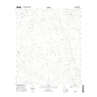
2016 Map of Bald Hill
USGS Topo · Published 2016About this map
The Angelina County Airport anchors the northwestern corner of this landscape, situated just south of the community of Burke. This East Texas terrain is defined by a dense network of meandering waterways, including Biloxi Cr and Bear Cr, which drain into the surrounding lowlands. The settlement of Bald Hill sits near the crossing of FM 326 N and Sam Baird Rd, while Shady Grove occupies the western edge of the quadrangle. The map details a complex system of local infrastructure, from established farm-to-market roads like FM 58 to numerous county routes such as Co RD 288 and Caver Rd. These roads provide access to the rural homesteads and agricultural tracts that have long characterized this portion of the Piney Woods. Tracing the paths of One-Eye Cr and Rockfounder Br reveals the subtle drainage patterns that influenced local land use and property boundaries.
Find a feature on this map
61 named features on this map. Tap any name to fly to it.
Don’t see what you’re looking for? This feature index may not catch every label — zoom into the map to look around manually.
Map Details
Editions of this 2016 Bald Hill Map
This is the sole edition of this map. No revisions or reprints were ever made.
Other maps of this area

1927 · Lufkin 4-c
USGS Topo · 1:24,000

1928 · Lufkin 4-d
USGS Topo · 1:24,000

1932 · Manning
USGS Topo · 1:62,500

1949 · Lufkin
USGS Topo · 1:62,500

1949 · Lufkin
USGS Topo · 1:24,000

1949 · Huntington
USGS Topo · 1:24,000

1949 · Keltys
USGS Topo · 1:24,000

1950 · Keltys
USGS Topo · 1:24,000

1950 · Lufkin
USGS Topo · 1:24,000

1950 · Huntington
USGS Topo · 1:24,000